Infrastructure
Review visible features and changes around roads, utilities, construction sites and other assets.
AI-powered satellite data analysis
Satvitech transforms suitable satellite and aerial imagery into useful insights through AI-powered object detection, change analysis, and custom geospatial solutions.
From imagery processing to structured analytical outputs.
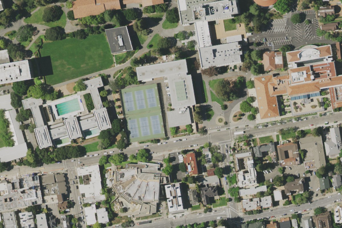
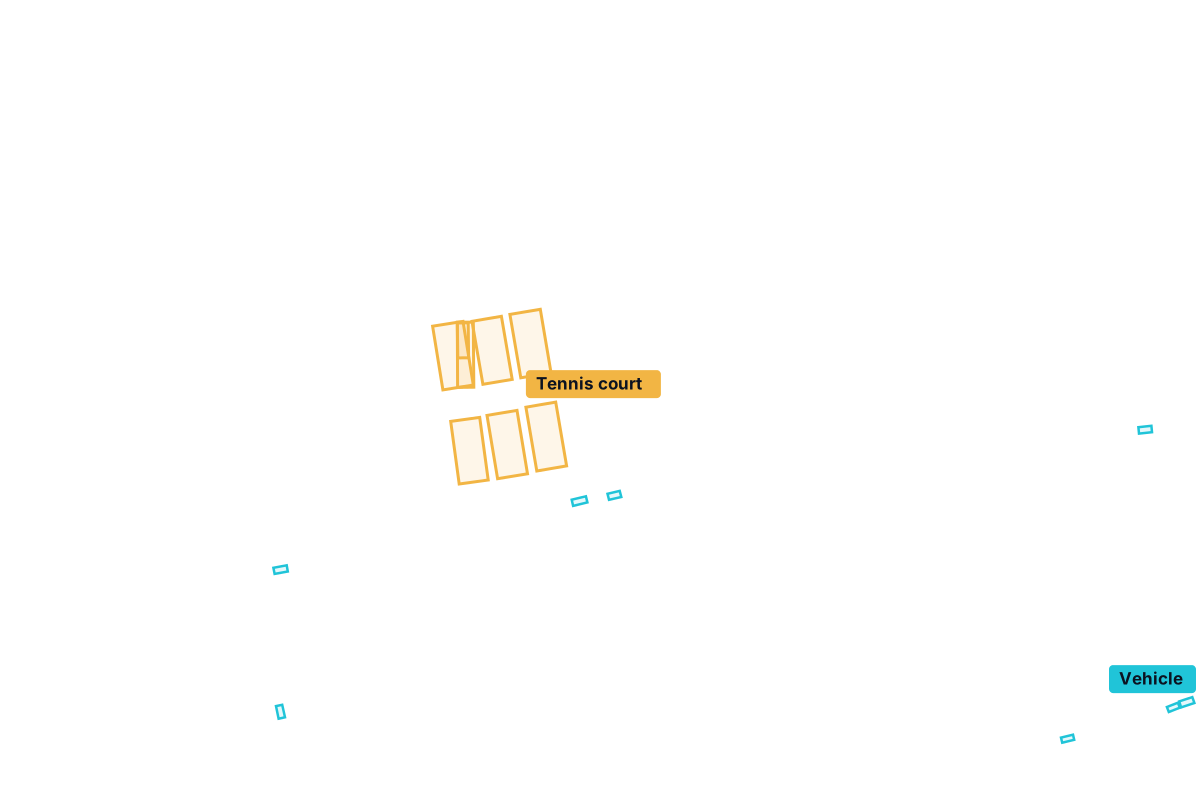 Real image · model output
Produced by an open-source aerial detection model on public-domain USDA NAIP imagery (0.6 m, shown enlarged), confidence ≥ 0.3. Not a customer project; some objects are missed.
What we do
Each service starts from a clear objective and suitable data. They can be used on their own or combined into one workflow.
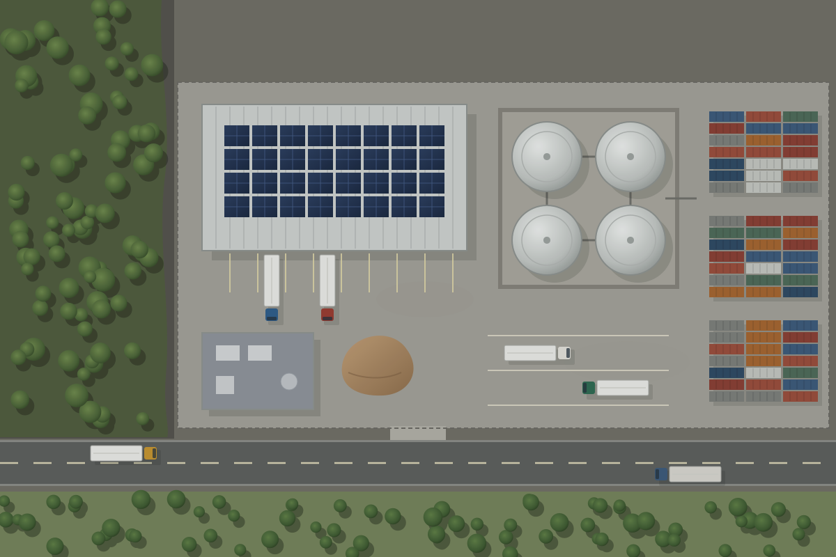
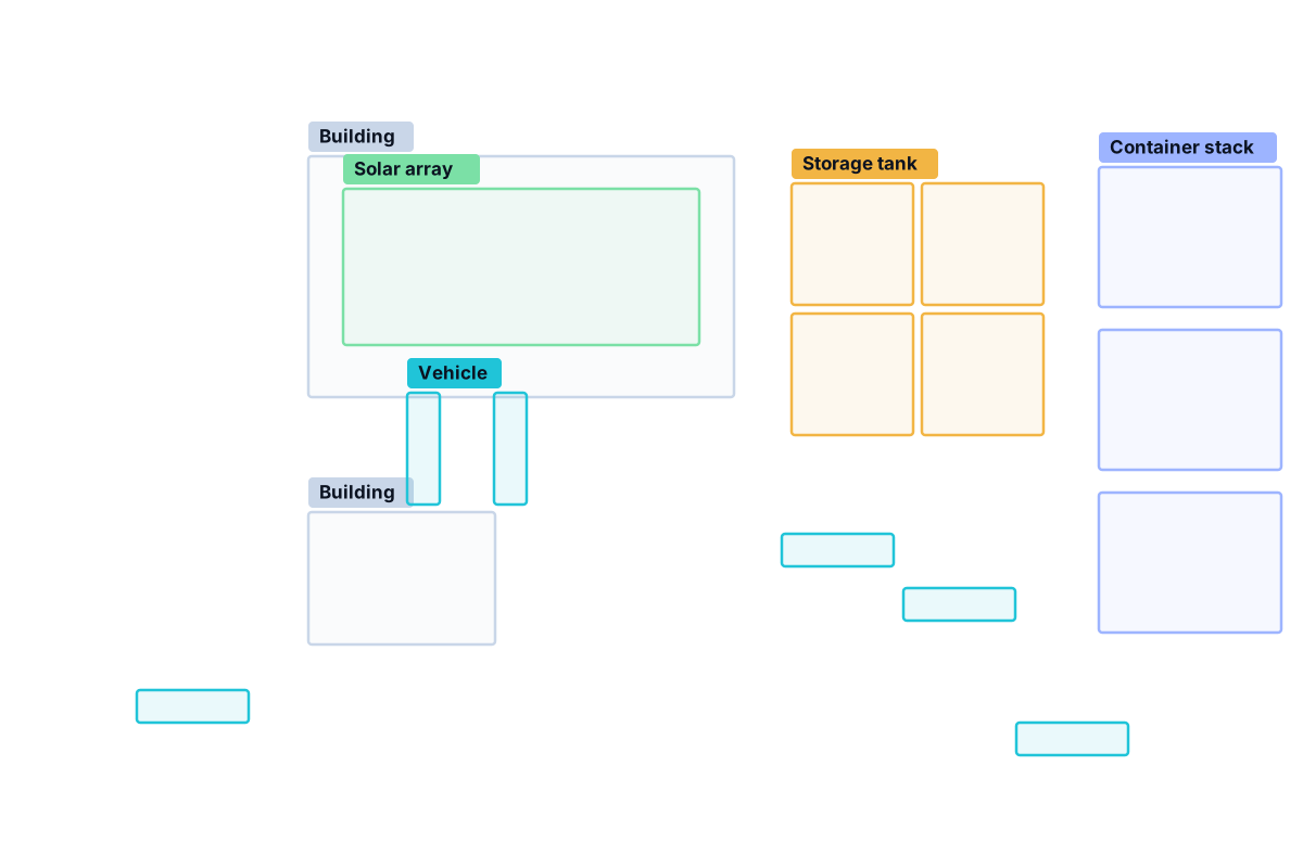
Identify and classify supported objects in suitable imagery, with annotated images and structured results.
Explore object detection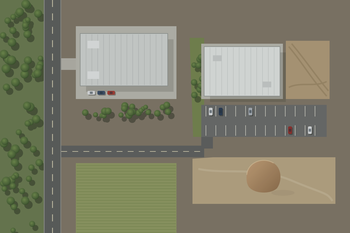
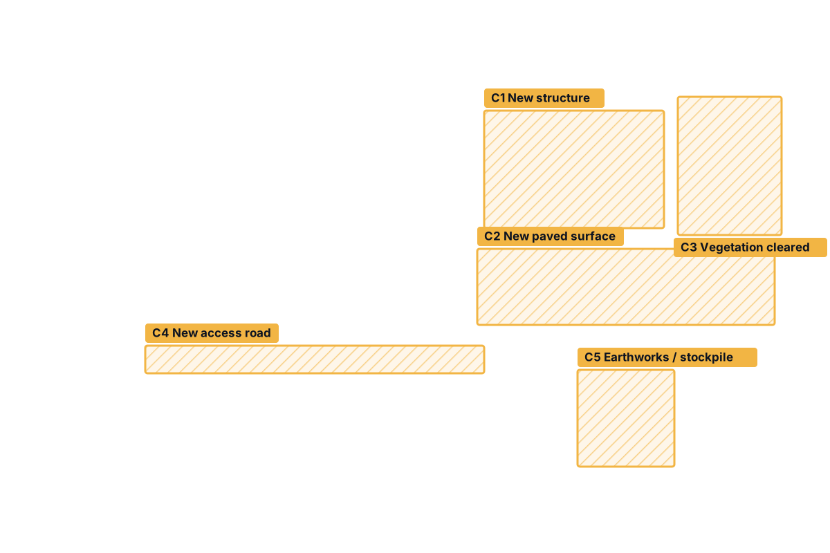
Compare imagery captured at different times to flag visible changes and support repeat site reviews.
Explore change detection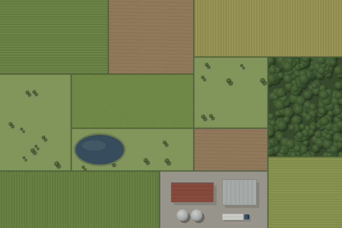
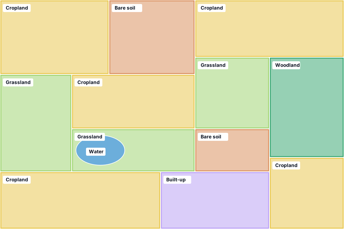
Extract features, surface classes and measurements from image data as structured information.
Explore image analyticsDesign tailored models, processing pipelines and tools for specific analysis requirements.
Explore custom solutionsWhy image data needs analysis
Satellite and aerial images can show what is on a site, how land is being used and what has changed. But turning a stack of images into a reliable answer usually means hours of manual inspection, and results can vary between reviewers and between dates.
Well-chosen AI and image-processing workflows can organise that work: they locate and count supported features, compare dates consistently and turn pixels into tables, layers and reports. They do not replace validation or expert judgement — they make it faster to apply and easier to repeat.
How it works
Every project follows the same disciplined path, scaled to the size of the task.
Clarify what you need to identify, measure, compare or monitor — and how the answer will be used.
Assess sources, resolution, coverage, dates, licence conditions and image suitability for the task.
Apply the relevant image-processing, computer-vision and geospatial methods.
Review results, errors, uncertainty and constraints appropriate to the task.
Provide the agreed reports, annotated imagery, data files or a tailored workflow.
Applications
Potential application areas when suitable imagery exists for the location, dates and level of detail required.
Review visible features and changes around roads, utilities, construction sites and other assets.
Count and classify supported site features such as tanks, stockpiles, vehicles or rooftop installations.
Classify field and land-cover types and compare conditions between suitable image dates.
Assess vegetation cover, cleared areas and other visible surface changes over time.
Analyse port-side infrastructure and visible activity where resolution and acquisition dates allow.
Support pre- and post-event comparisons of defined areas when appropriate imagery is available.
These are areas where the methods may be useful — not a list of past projects. Feasibility is confirmed for each project once the objective and available data are clear.
Technical credibility
The quality of any imagery analysis depends on the image characteristics, the source data, how well a method suits the task, and how carefully the output is validated.
Satvitech plans for all four from the start — and documents assumptions and limitations alongside every result.
Tell us what you need to identify, compare, or monitor. We’ll review the objective and the data requirements and discuss a suitable approach.