Computer vision
Object detection, classification, segmentation and visual feature recognition when suitable for the task.
AI technology & capabilities
Satvitech combines image preparation, computer vision, AI-based analysis, geospatial processing, and quality review into workflows designed around each project's objective and source data.
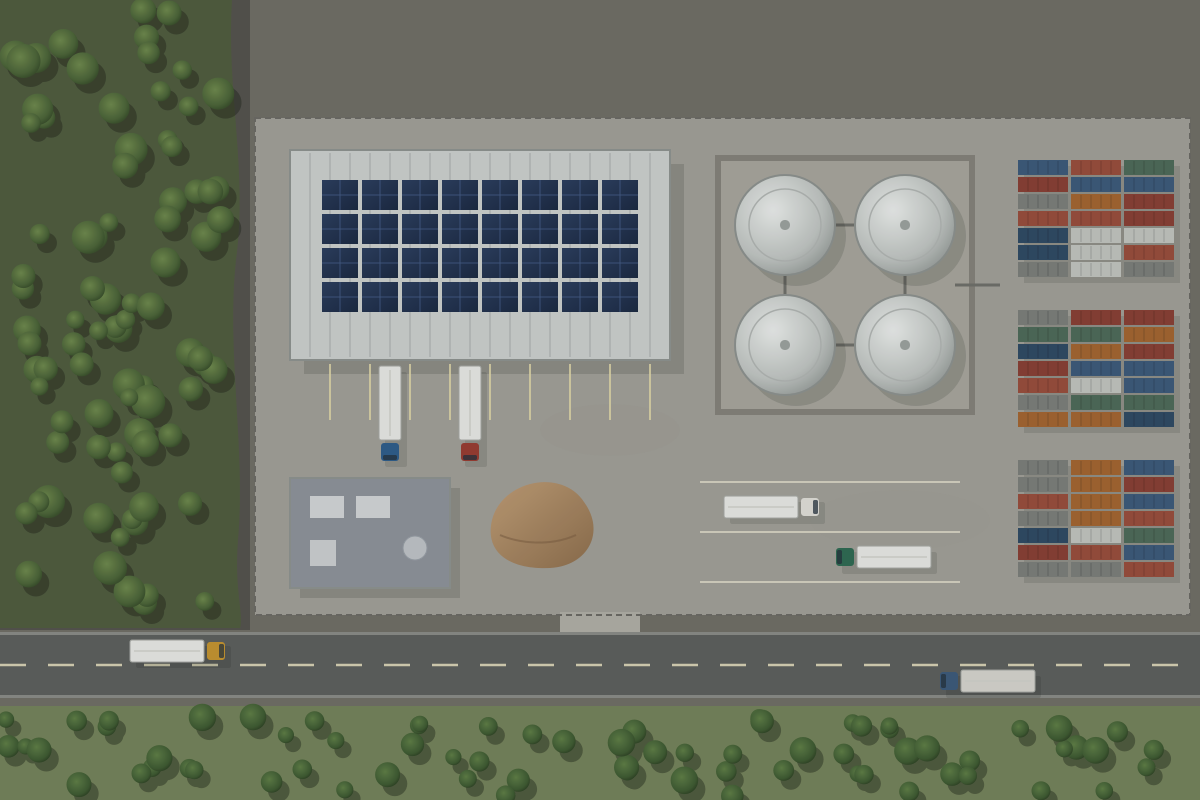
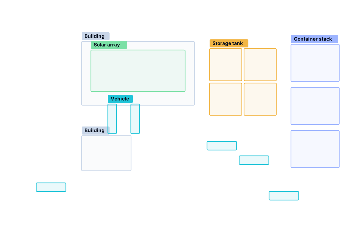 Example visualisation
Core capability areas
These are capabilities available depending on project scope — not modules of a pre-built platform. The right combination depends on the question and the data.
Object detection, classification, segmentation and visual feature recognition when suitable for the task.
Preparation, normalisation, image alignment and sensor-appropriate handling of the source data.
Spatial reference handling, feature locations, area measurements and data outputs where source metadata supports them.
Relevant bands and derived indices — only when the source provides suitable bands and the scientific approach is appropriate.
Comparison of aligned, appropriate images captured at different times, with review of potential artefacts.
Repeatable processing pipelines for compatible data and agreed workflows.
Evaluation of sample outputs, tracking of false positives and missed detections, and documented constraints.
The analysis pipeline
The same structure applies whether the task is a single image or a recurring workflow.
Imagery choices
Imagery differs by sensor and acquisition characteristics. Choosing well is often the most important decision in a project.
Visually intuitive and similar to a photograph.
Bands beyond visible light can support certain material, vegetation or land-cover analyses.
Can be useful in conditions that limit optical imagery, for certain applications.
May offer higher resolution, different coverage or tasking options, depending on provider and licence.
Suitable for some projects, particularly broader-area tasks.
Satvitech can assess open and commercial sources as appropriate for each project. We do not have exclusive access to any imagery source, and no provider named or shown on this site is a partner.
Quality and limitations
No imagery analysis is perfect. Each project should define what level of performance is good enough for its intended use — and what a mistake would cost.
Where appropriate, outputs include confidence scores, sample-review findings or other quality notes. A model's confidence score is not automatically a calibrated probability of being correct, so we explain how scores were reviewed. We do not promise 100% accuracy.
Something reported that is not really there. Costly when every result triggers an action.
Something present that was not reported. Costly when completeness matters most.
Data sourcing and usage
Satvitech uses appropriate third-party and open sources and/or customer-supplied imagery, depending on the project. Source selection weighs data access, licensing, resolution, date coverage, budget and the required output.
Every proposed workflow is subject to imagery availability and permitted use. If suitable data cannot be obtained for a location or date, we say so before work begins.
Is the imagery obtainable, and does its licence allow the intended analysis and outputs?
Is the detail sufficient for the smallest feature that matters?
Are there images for the dates — or the cadence — the question needs?
Does the cost of the data match the value of the answer?
Tools and stack
Tools, frameworks and processing environments are chosen per project to suit the method, the data volume and how results will be delivered. We would rather describe what a workflow does than show a wall of vendor logos.
If your project has requirements for particular formats, software or deployment environments, include them in your enquiry and we will take them into account during scoping.
Share your objective, any data or format constraints, and how outputs need to be delivered.