Our services

AI analysis built around your imagery and objectives.

Satvitech combines suitable satellite and aerial imagery with computer vision, image processing, and tailored software to help turn visual data into structured, usable results.

Complementary, not separate. These four service lines share one way of working and are often combined — for example, detecting objects on each image date and then comparing the results over time.

01

AI Object Detection & Classification

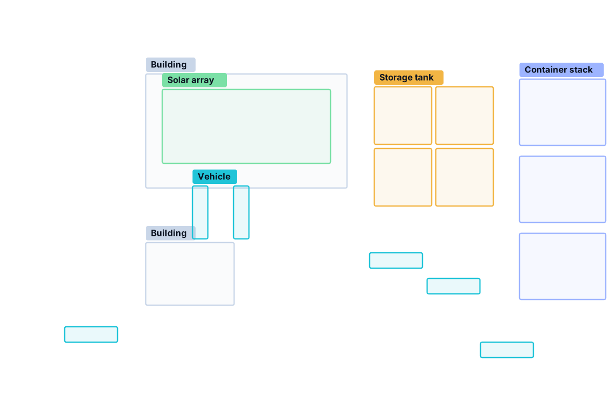
Locate supported objects or visual features in suitable imagery and assign them to agreed categories — from storage tanks and vehicles to rooftop installations or field features.

  • Detection of supported objects and visual features
  • Classification into categories defined with you
  • Annotated imagery and tabular results
  • Coordinates and spatial attributes when the imagery is properly georeferenced
Explore Object Detection
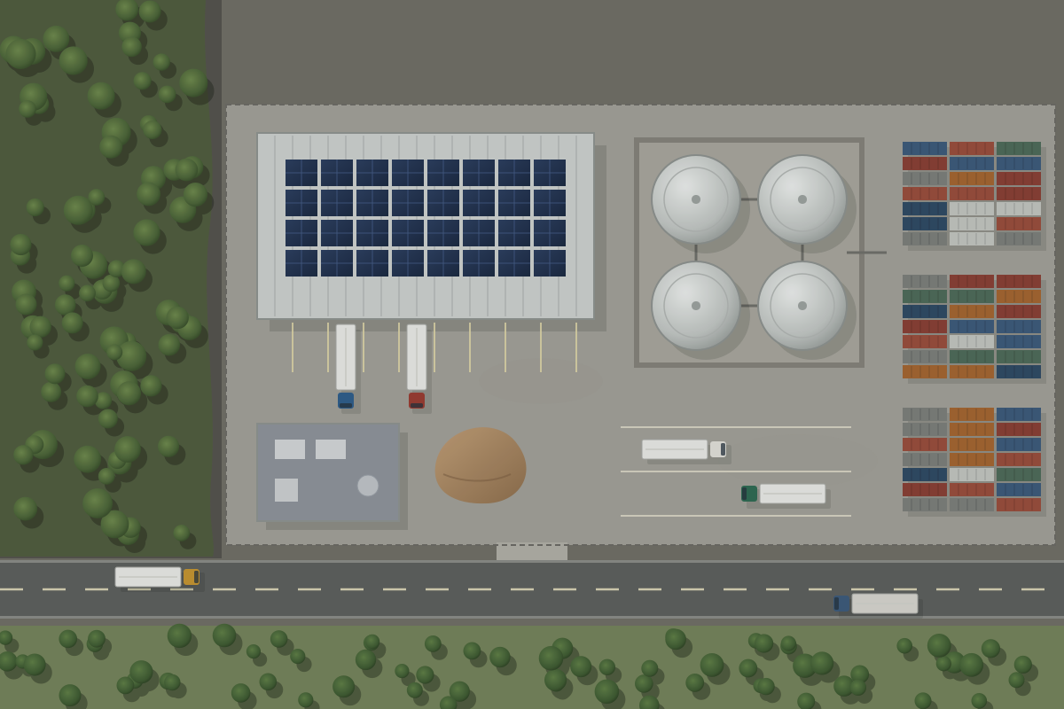
Illustrative industrial site with detected objects outlined by class.Example visualisation
02

Image Change Detection & Monitoring

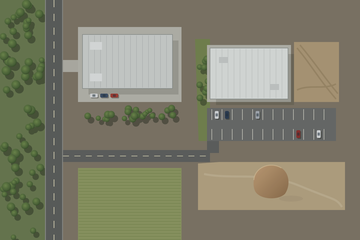
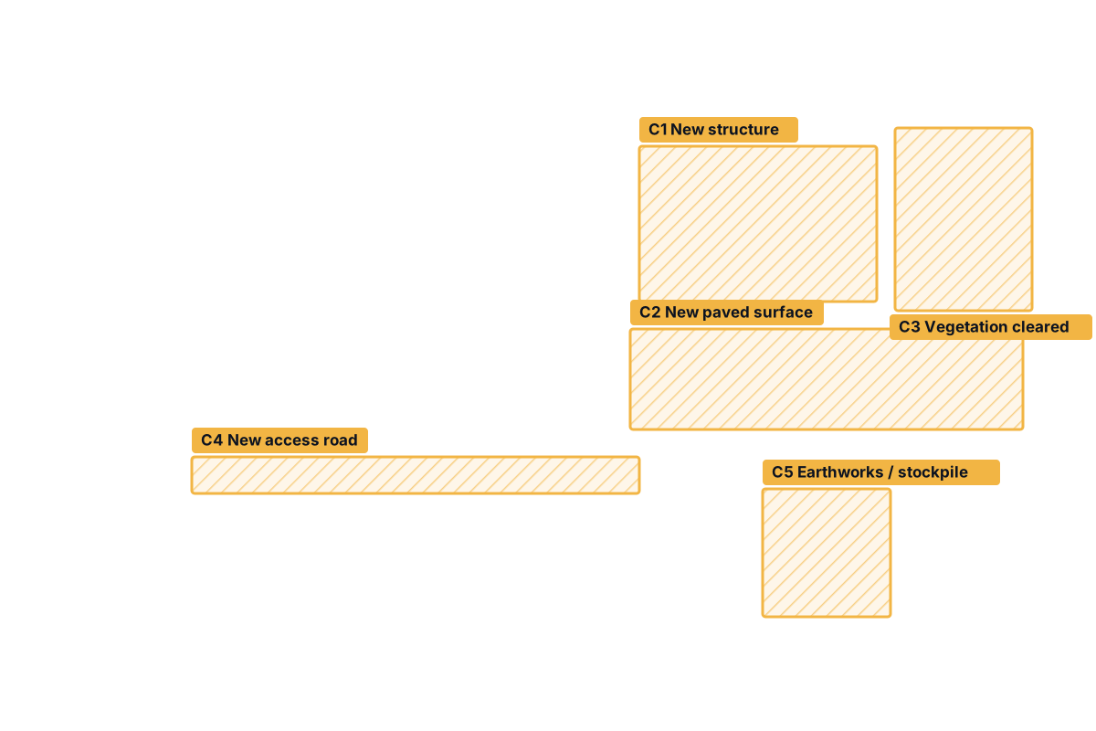
Compare imagery from different dates to highlight visible changes on a defined site or area, and repeat the review when new suitable imagery becomes available.

  • Comparison of two or more image dates
  • Highlighted change regions with a written summary
  • Recurring review of a defined area or asset
  • Explicit notes on what can cause false changes
Explore Change Detection
Illustrative site imagery with new construction and cleared land highlighted as change regions.Example visualisation
03

Satellite Image Analytics

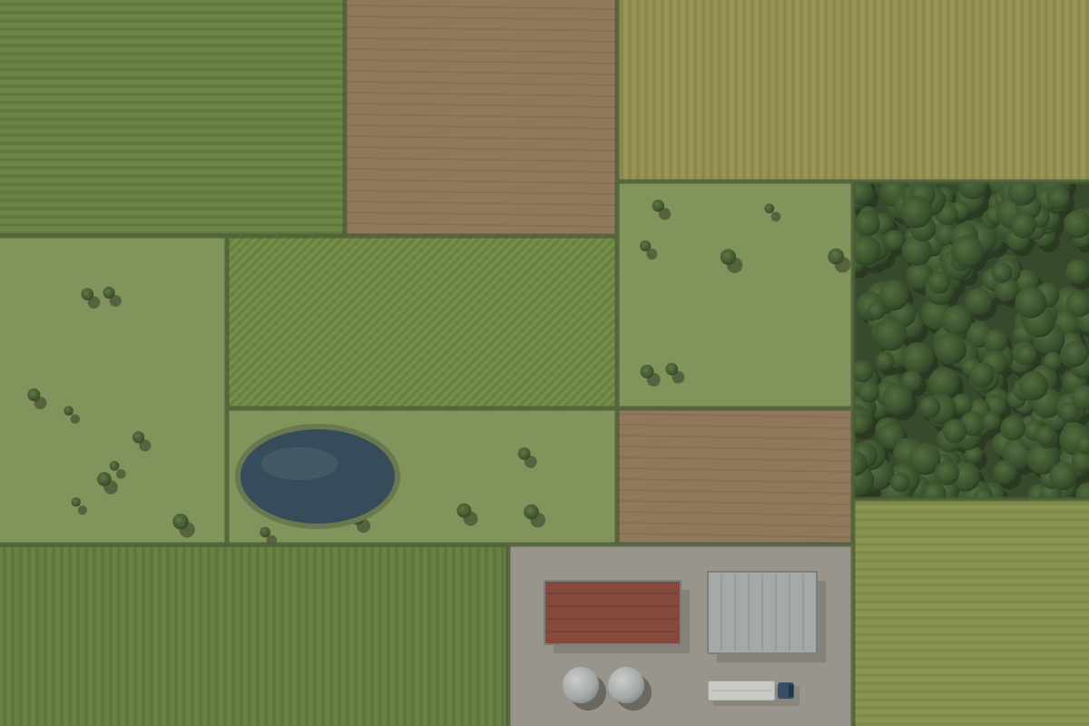
Turn image data into structured information: preprocessing, feature extraction, land-cover classification where appropriate, area measurements and analysis-ready datasets.

  • Image preprocessing and quality checks
  • Feature extraction and land-cover / land-use classes
  • Approximate area and count estimates
  • Structured tables and geospatial datasets
Explore Image Analytics
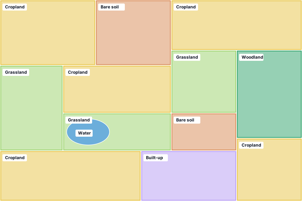
Illustrative agricultural landscape with fields shaded by land-cover class.Example visualisation
04

Custom AI & Geospatial Solutions

When a standard workflow is not enough: tailored computer-vision models, automated processing pipelines, review tools and integrations built around your objective and data.

  • Custom or adapted computer-vision models
  • Automated, repeatable processing pipelines
  • Targeted review interfaces and reports
  • Exports structured for your existing workflow
Explore Custom Solutions
  1. Image ingestionCompatible imagery from agreed sources
  2. PreprocessingChecks, alignment, preparation
  3. Model inferenceCustom or adapted model
  4. ValidationReview against reference examples
  5. Output & integrationReports, data, review screens

A flexible project approach

Every project starts with the objective and the data

There is no single right image source. We choose the imagery that fits the question, the level of detail needed and the budget.

Open data

Openly available imagery can suit broad-area or medium-resolution tasks. Coverage, resolution, revisit and permitted uses vary by source.

Licensed commercial imagery

Higher resolution or specific acquisition dates may require licensed imagery from a commercial provider, at additional cost and under its licence terms.

Your own imagery

Imagery you already hold can often be analysed, subject to format, permissions, georeferencing, quality and suitability for the task.

Required resolutionAcquisition datesLocation & coverageAvailabilityLicence & permitted useBudget

Possible outputs

What you can receive

Outputs are agreed during scoping so they fit the way you will use them.

Annotated images
Detection & classification tables
Change summaries
Geospatial data exports (where suitable)
Analytical reports
Custom processing tools

FAQ

Common questions

Short, honest answers. If your question is not here, ask it in your enquiry.

Do you own or operate satellites?

No. Satvitech focuses on analysis. We use suitable imagery from third-party providers or open data sources, and imagery supplied by customers, depending on the project.

Can you analyse imagery we already have?

Potentially. It depends on the file format, your permissions to use the imagery, whether it is georeferenced, its quality, and whether it contains enough detail for the task.

Can you provide recurring monitoring?

Recurring analysis can be scoped when appropriate imagery is available at a suitable repeat cadence and under a licence that allows the intended use. Update frequency depends on acquisition, weather for optical data and provider availability.

Can several services be combined?

Yes. Many projects combine services — for example object detection on each image date followed by a change comparison, or analytics outputs feeding a custom review tool.

How do we start?

Describe your objective through the demo request form. We then review the data requirements and feasibility with you and suggest a suitable approach.

Not sure which service fits?

Describe what you are trying to find out and the imagery you have, if any. We will suggest the most suitable approach — including whether the task is feasible with available data.